

Your questions answered · Living on the Bayside
Does Wynnum flood?
What the council maps actually show.
The honest answer is: some of it, from some kinds of water, and council has mapped exactly which lots. This is how to read the maps for your own address, what the four kinds of flooding mean on the bay, and what it changes if you build.
 Nathan Brain, carpenter and builder at Sabre
17 September 2026
5 min read
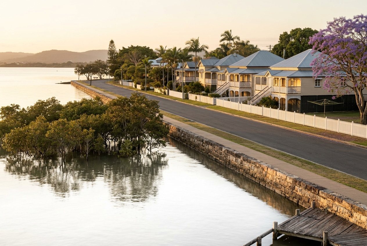 Reading council's mapDoes Wynnum flood?
Part of a bigger picture: the honest guide to living on Brisbane's Bayside.
Which kinds of flooding does Wynnum actually get?
Council models four sources, and Wynnum's geography sorts them quickly.
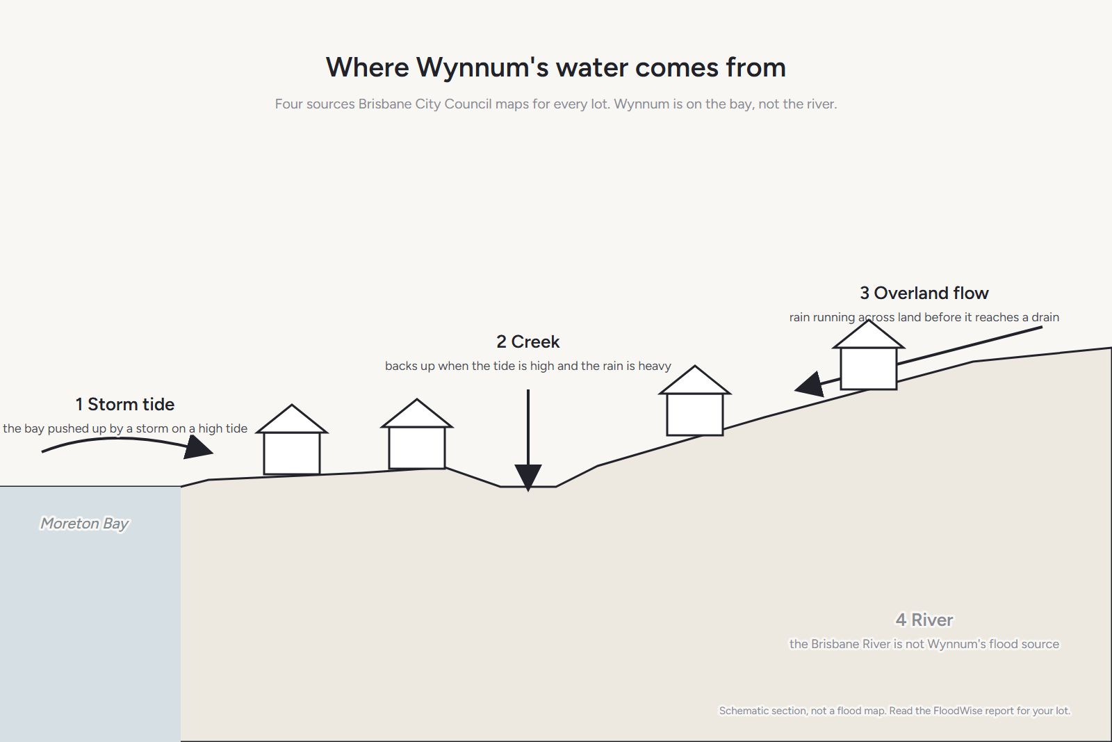
- River flooding. Wynnum isn't on the Brisbane River. This is the one people picture from 2011 and 2022, and it's mostly somebody else's problem here.
- Storm tide. The bay, pushed up by a storm on a high tide. Mapped under council's coastal hazard overlay. This is the one that matters closest to the esplanade.
- Creek and waterway flooding. Wynnum Creek and the drains to the bay back up when the tide is high and the rain is heavy at the same time.
- Overland flow. Rain moving across land in a downpour. It follows old gullies and low points that the street grid was laid over, and it turns up on blocks nowhere near a creek.
How do you read council's map for your address?
- Open council's Flood Awareness Map and choose I am a resident, business or visitor.
- Search your address. The Flooding Overview panel lists the flood types and their likelihood for your property.
- Click Technical FloodWise Property Report for the levels.
“The Flood Awareness Map is an easy-to-use online tool that offers general flood awareness information. You can search for a property to see the likelihood of it being affected by different types of flooding.”
Brisbane City Council, FloodWise Property Reports. Council's answer for your lot beats anyone's opinion about your suburb, including a neighbour who's “never seen it flood.”
What does the FloodWise report tell you?
Three things you can act on.
- Flood levels at different likelihoods — the 0.2%, 1%, 2%, 5% and 20% AEP events for river, creek and storm tide. A 1% AEP flood has a one-in-a-hundred chance in any given year. It isn't “once a century.”
- The minimum habitable floor level for a new house on the lot.
- Which City Plan overlays apply — river, creek, overland flow, coastal hazard — which decides whether there are flood planning requirements for a build.
“It is important to note that flooding may still present a risk and could include overland flow, which is shown as a property development flag further down the report.”
Brisbane City Council, FloodWise Property Reports, on lots with no river, creek or storm tide level assigned. Council also notes the report's aerial map does not show overland flow. Read the whole report, not the picture.
What don't the maps tell you?
- Whether your house has ever been wet. The maps are models of likelihood, not a record. A dry history is good news; it isn't the same as no rules.
- What a king tide does to the street. Nuisance tidal water on low esplanade streets is a different thing from a modelled storm tide, and the map isn't a tide chart.
- What your insurer thinks. Insurers use their own flood data. Ask them, and tell them if a new house is designed to the current levels.
What does it change for a house?
If your lot carries a flood overlay, a new house has to meet the minimum habitable floor level in the report. Near the bay that often means the living areas go up: a highset house, or a ground floor of garage, laundry and storage with the family upstairs.
Done from the start, that's a better house, not just a compliant one. The rooms that matter sit where the water can't reach; the ground floor is built to be hosed out. Done as an afterthought — a plan drawn for a flat estate lot, then lifted — it's expensive and awkward. What an overlay does to a design is here.
It's also why the old houses matter. A 1960s lowset on a ground-level slab near the esplanade sits below levels that a new house wouldn't be allowed to. Sometimes the flood map is the strongest argument for starting again.
Common questions
Did Wynnum flood in 2011 and 2022?
We're not going to characterise past events street by street from memory. Council's flood information site includes historic flood mapping; read it for your address rather than taking anyone's recollection.
Is the esplanade the only part affected?
No. Storm tide is concentrated near the bay, but creek and overland flow mapping follows the low ground wherever it runs. That's why the check is by address, not by distance from the water.
Can we still build if we're in an overlay?
Usually. The overlay sets requirements — mainly floor height — that the design has to meet. It's paperwork and design, not a bar.
Can you read the report for us?
Yes. Bring it to the walk-through or we'll pull it together, and Nathan will tell you what the levels do to a design on your block.
Sources: Brisbane City Council, FloodWise Property Reports and Flood Awareness Online; Brisbane City Plan 2014. Read 17 September 2026. Council's flood information changes; read the current report for your lot before you decide anything. Not planning, engineering or insurance advice.
Keep reading
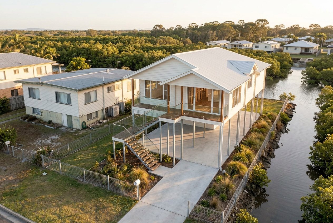 What changes for a rebuildFlood overlay
Rebuilding on a flood overlay block on the Bayside: what changes?
How to pull council's FloodWise report on your lot, what the four kinds of flooding mean near the water, and what an overlay does to the design of a new house.
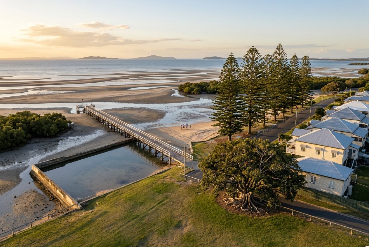 The Bayside suburbsWynnum
Is Wynnum a good place to live? An honest look at the good and the annoying
The water, the train, the village and the schools; the tide, the salt, the storms and the seventy-year-old houses. Written by a builder, not an agent.
 October to MarchStorm season
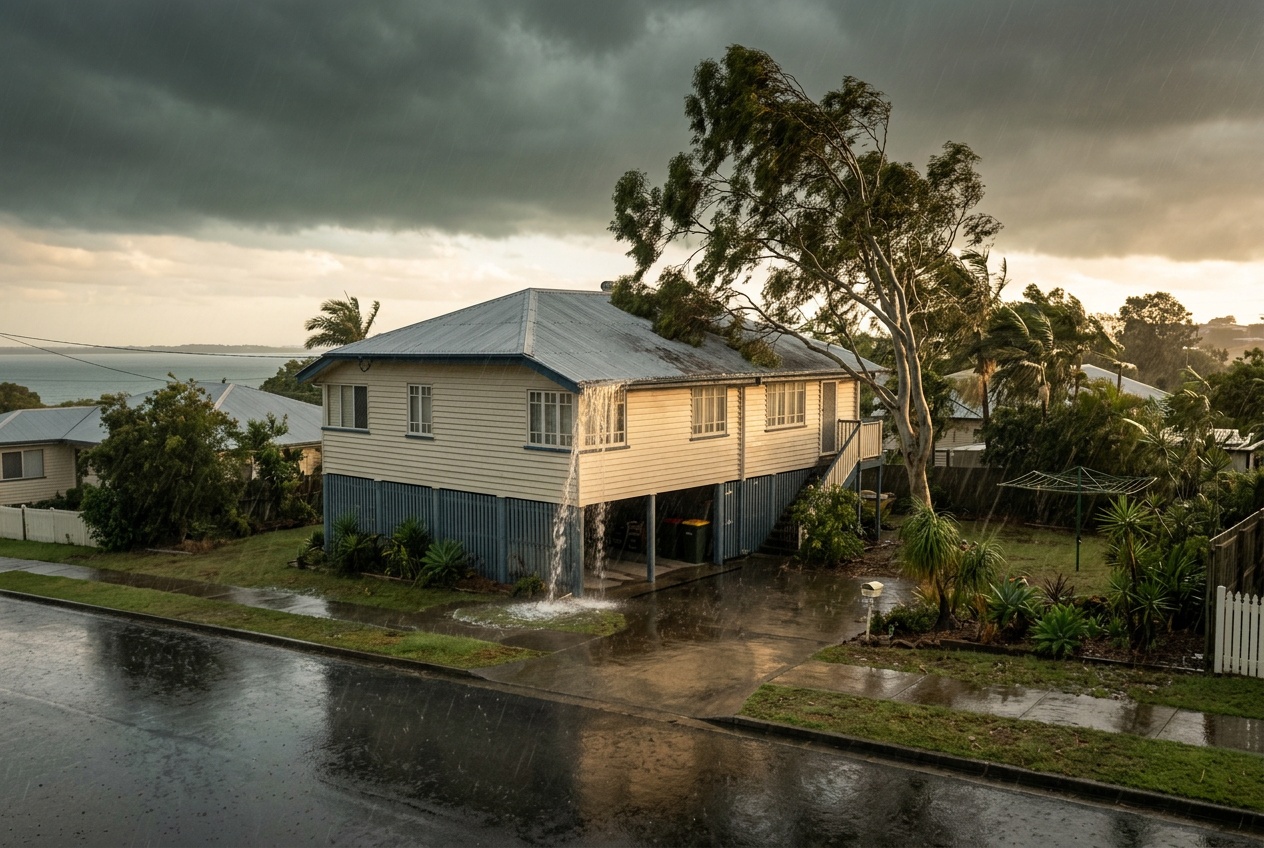
Bayside storm season: what it means for your roof, your trees and your insurance
October to March, every year. What Get Ready Queensland says to check before it starts, what a builder looks at on an old Bayside house, and why the storm is the first honest look at the roof.
Where most families start
A walk through your house with Nathan.
Bring the FloodWise report for your lot and he'll tell you what the levels do to a design. Or he'll pull it with you.
Book your walk-through with Nathan Call 0422 831 306
Already thinking about a rebuild? The free block check is on the same page.